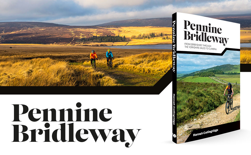
A brand new 140-page guidebook dedicated to cycling the Pennine Bridleway has just been released into the wilds by local Sheffield company Vertebrate Publishing.
Covering the whole National Trail from Derbyshire through the Yorkshire Dales to Cumbria, the book splits the route into four sections and includes the three additional loops, with Ordnance Survey 1:50,000 (Landranger) maps throughout.
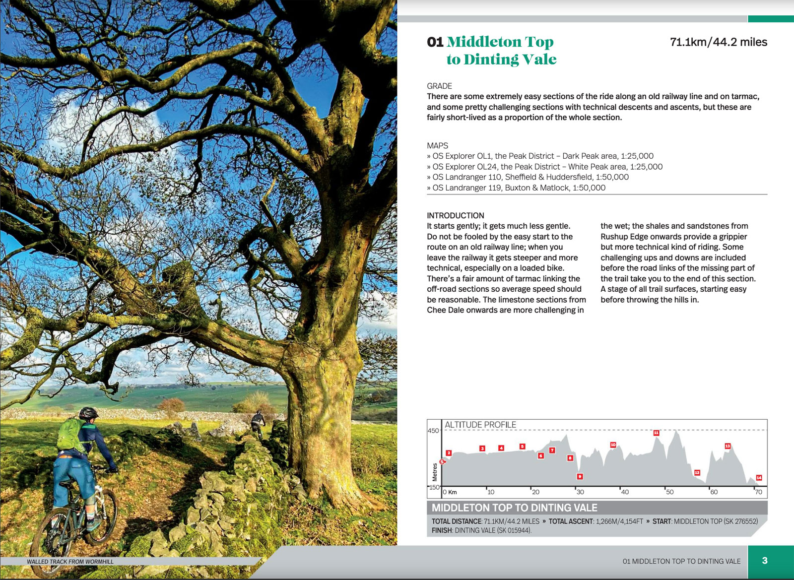
Written and compiled by Hannah Collingridge, who has a background in history, archaeology, landscape studies, it seems clear from the sample pages available here that this isn’t just a basic turn-by-turn guide but a thorough exploration of all the interest along the way.
Also included are elevation profiles, bikepacking tips, downloadable GPX files and what looks like some cracking original photography by Joolze Dymond.

It looks like a must-own for lovers of the challenging trail or anyone who wants to give it a go.
I can admit, Lantern Pike and Cown Edge is probably the most “challenging” section I’ve tried, perhaps it’s time to be more adventurous? There are lots of easy, smoother bits, though: the High Peak Trail, Sett Valley Trail and Longdendale Trail all form parts of the route. The quiet link through Perry Dale at Peak Forest was a nice recent discovery too.
You can buy a copy now direct from Vertebrate Publishing, or from the likes of Amazon.co.uk, Hive Books and Wordery. Hopefully some of our local book shops will stock it, too.
If your correct number of cycling books is n+1, Vertebrate also have numerous other Peak District walking and MTB guides available, notably the Peak District Mountain Biking: Dark Peak Trails and White Peak Mountain Biking: Pure Trails books.
And for even more, see my brief reviews of other useful Printed Maps and Guides covering the local area.
