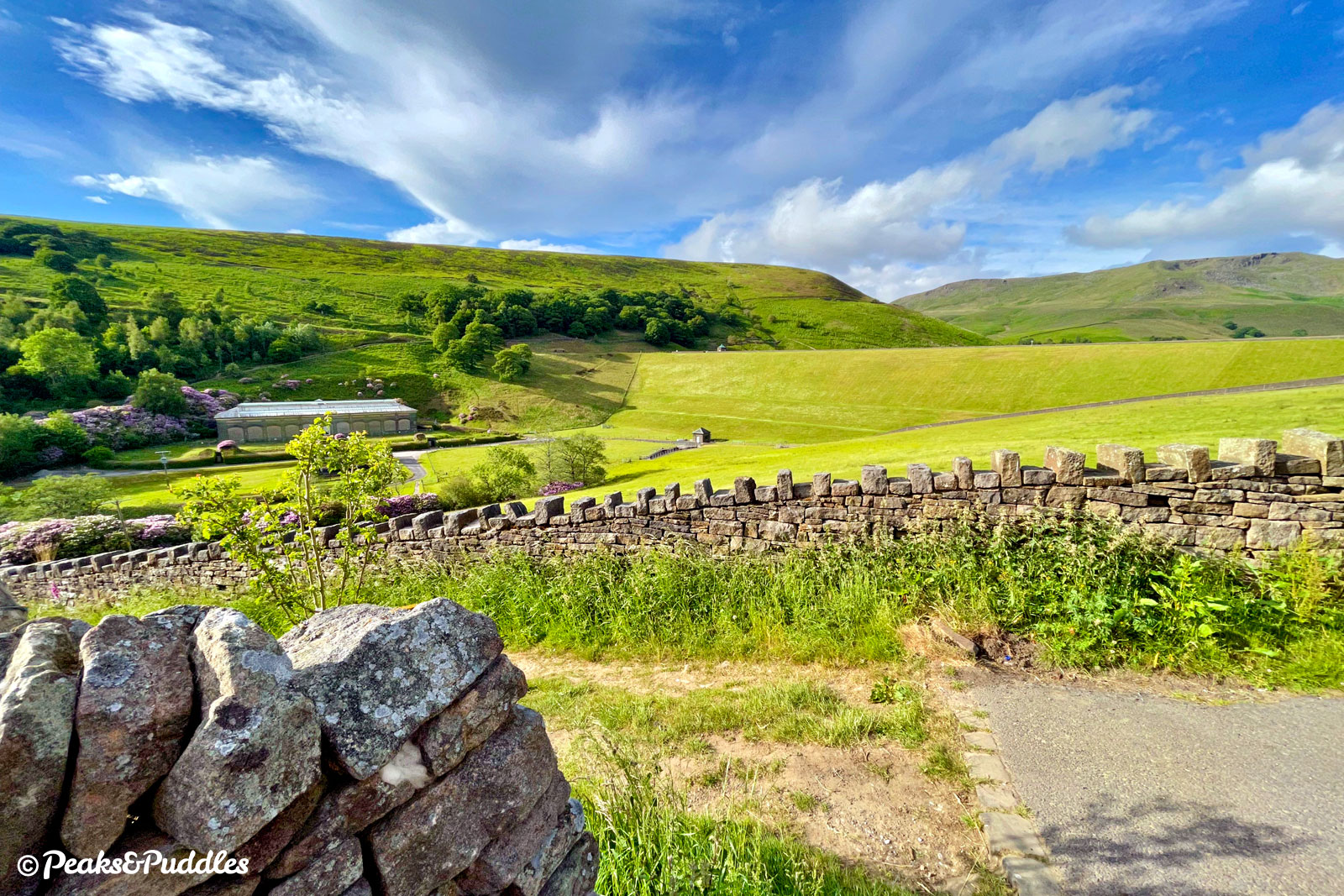
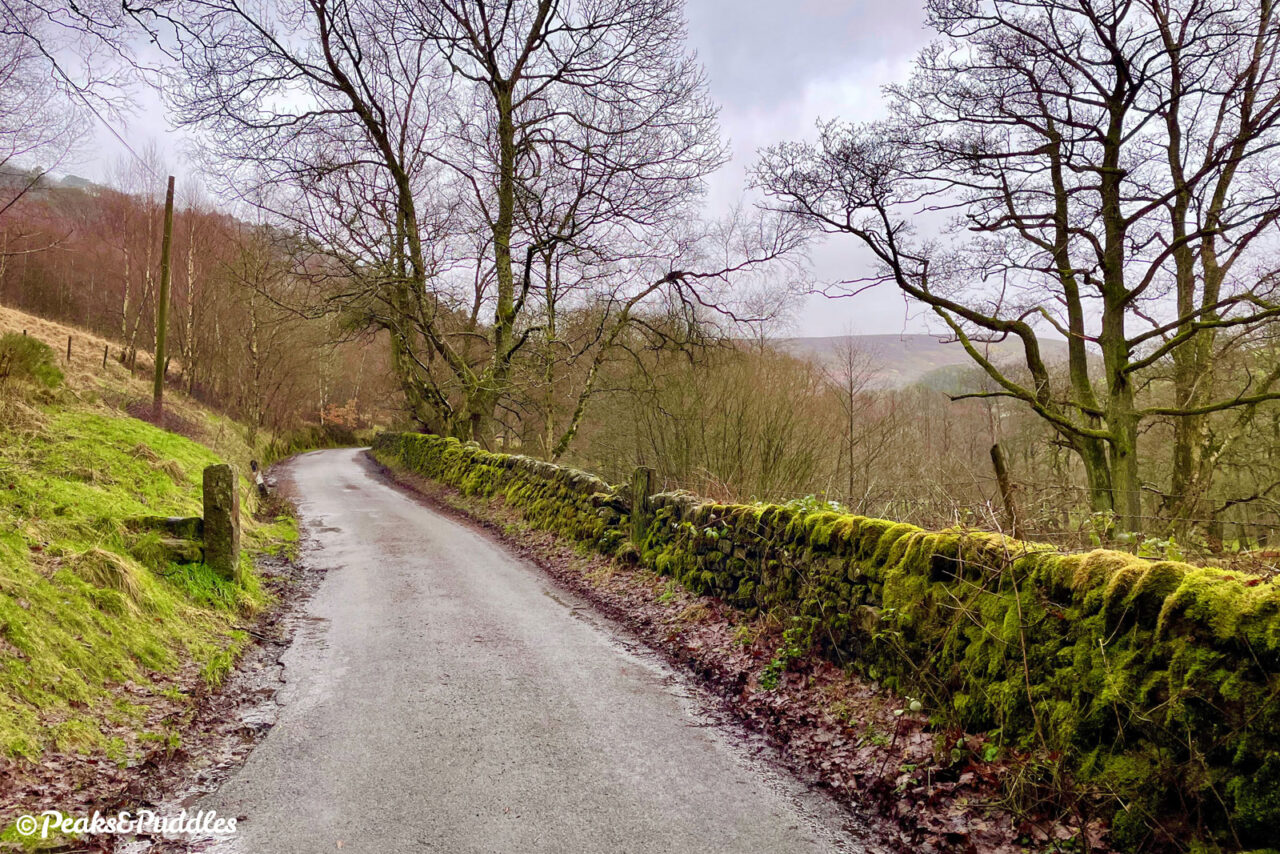
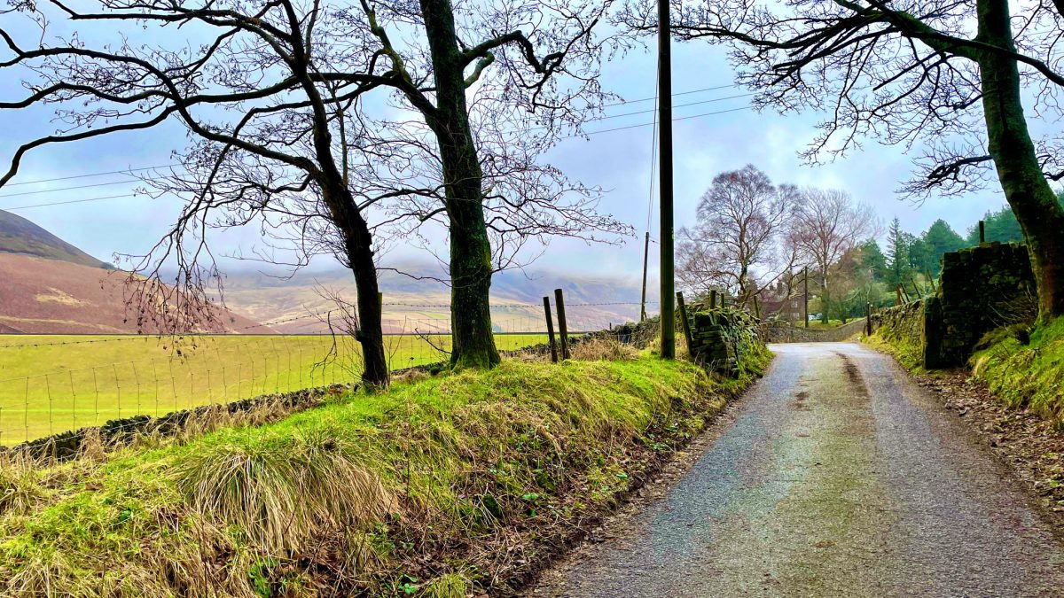
This mini extension to the Sett Valley Trail makes the route both a more worthwhile out-and-back and a far more dramatic ride, tracing quiet lanes into the damp, hidden valley where the rivers Sett and Kinder meet below the mighty Kinder Scout.
Route details
- Distance
 8.9 miles / 14.3 km
 - Elevation Gain
 130 m / 425 ft
 - Time allow 1 ½ hours
- Difficulty
 Gentle
 - Terrain 64% Off-Road Path Traffic-free trails, towpaths & cycleways 36% Road Quieter lanes, sometimes brief busier roads 0% Unpaved Bumpier tracks & bridleways
- Suited to
 City or Folding Bike
  Gravel Bike
  Hybrid Bike
  Mountain Bike
  Road Bike
 - Notes Extending an easy-going trail onto quieter roads, part closed to general traffic. One short sharp hill at the reservoir.
- Suggested Start New Mills SK22 4BY SK 0004 8542
- Places Birch Vale, Derbyshire, Hayfield, High Peak, Kinder Scout, New Mills
- Attributes Accessible by train, Bridges, Car parking, Family-friendly, Gentle climbs, Ideal for electric bikes, Out and back, Pubs and cafés, Railways, Reasonably flat, Reservoirs, Rivers, Rural heritage, Short sharp climbs, Suitable for older kids, Towns and villages, Views of hills and peaks, Woodlands and forests
It’s easy to think the end of the Sett Valley railway trail is, and has always been, the end of the line. For one brief time in Hayfield’s history, the railway serving this quintessential High Peak village didn’t stop here. Between 1908 and 1912 a further line continued on, travelling straight across the main street, then along the Sett and Kinder rivers to the construction of a huge new dam.
The full-size Kinder Reservoir Railway carried materials and labour to the site of Stockport Corporation’s new water source, building a giant earth dam in the Kinder valley below the famous moorland plateau of Kinder Scout.

The construction of both the railway and reservoir were protracted and fraught with difficulty, in fact beginning as early as 1903 with Abram Kellett as the contractor and the plans being for a stone masonry dam. Difficulties with construction and foundations saw the suspension of work, expensive litigation and eventually the switch to a clay core earth dam.
Stockport Corporation took over works and the reservoir was eventually complete in 1912. It has a capacity of over 2.3 billion litres and covers 43 acres. The railway and works were wound down and disappeared from the landscape, leaving little trace except a few gentle embankments. From 2,087 ft (636 m) above sea level, the highest point in the Peak District National Park, water still drops over Kinder Downfall and into the reservoir to meet the needs of distant urban life.

A few decades later, this otherwise peaceful, secluded upper valley beyond Hayfield would see upheaval again as the Kinder Mass Trespass of 24th April 1932 brought hundreds of ramblers to protest over the right to roam these and other natural areas of national significance.
This route passes right by Bowden Bridge, the small quarry used in the initial construction of the dam and where the Mass Trespass began, as it follows first the Sett and then the Kinder rivers to the reservoir’s impressive dam.
Route map
The route stats featured here are automatically generated by Komoot. For the most accurate guide, please refer to the route details above, based on actual rides recorded by Strava.
Getting there
This route is best started from New Mills to feel the full grandeur of arriving at the foot of Kinder. See the Sett Valley Trail cycle route guide for further tips and instructions.
Shop and support
Bikes, accessories and gear to start your next adventure. Simply buying through these links is a totally free way to support the cost of keeping Peaks & Puddles online. See more here.
Things to note
- See the Sett Valley Trail cycle route guide for general notes about the trail.
- Unlike the Sett Valley Trail itself, this route sees you cycling on a couple of minor roads alongside cars. Since they’re very quiet, though, it can be a good introduction to going beyond the end of the trail and mixing with some gentle traffic.
- You’ll encounter most cars on the short 50 metre hop through Hayfield itself. It’s a short enough distance to push bikes here over to Kinder Road if necessary, giving time to take in the village.
- Beyond Bowden Bridge, the road is “access only” for motor vehicles, though you may still encounter the odd one. Be more vigilant of the many hikers! The lane up from Hayfield will be much, much busier on pleasant weekends, especially Sundays, so perhaps save it for another time — evenings are almost deserted.
- To get up to the final vantage point towards Kinder Scout, there’s an incredibly steep climb that can’t really be described as ‘Gentle’ like the rest of the route, but given it’s so short it’s worth getting off and pushing if necessary.
Found this guide helpful?
Please consider chipping in the price of a coffee to help pay the bills and support my work. Or become a Peaks & Puddles Plus supporter to get access to exclusive routes and pages in return.
Route stage-by-stage
- Follow the Sett Valley Trail cycle route guide, leaving New Mills and cycling through Birch Vale to eventually reach the former railway station site at Hayfield. Follow the bridleway path to the left which brings you neatly to a shared crossing over the A624 bypass road built in 1979.
- Through a small car park you join Walk Mill Road and pass St Matthew’s Church on your left. Church Street, the narrow road through the village is then immediately ahead, with a small collection of shops and eating places. The temporary Kinder Railway crossed a little further up, through a gap created next to the George Hotel. Turn left, crossing the River Sett for only the second time in your ride.
- Turn right into Bank Street, somewhat hidden between the Old Bank Surgery and the chemist but signposted for a camp site. You climb up very briefly to another junction, turning right onto Kinder Road at one of the prettiest corners of the village, used in the filming of the BBC drama “The Village”.
- The road now climbs gently but steadily past densely packed quaint stone cottages and the local library. Though fairly quiet, the number of parked cars can call for some patience. Where the road forks, stay left on Kinder Road and climb gently again as the views open up over a brand new part of the valley, with the river hidden far below.
- Rounding a corner, with the sudden feeling of entering a mountain pass, the nobbled edge of Kinderlow End comes into view. Pass the Sportsman Inn and the road begins to dip downhill to Bowden Bridge. There are toilets to the right, near the entrance to the camp site. It’s hard to believe today, but the fields filled with tents and caravans were industrialised by the Kinder Printworks from 1855 to 1902. Near the remaining mill pond is where the River Sett leaves us, rising south to its source below South Head.
- We continue onward into a narrowing lane which rises again around the wooded Kinder Bank for half a mile. During the initial aborted construction of the reservoir, when the haulage railway had yet to be completed, this was unbelievably the only route to the site for all workings and machinery. Descending slightly, we reach the gates of Kinder Reservoir. To the right is Booth Sheepwash, a preserved piece of agricultural history beside the river.
- Now, a choice: the track straight ahead through the gates takes you steadily through Marepiece Wood, along the line of the old railway, to the very foot of the dam. There a narrow, cobbled bridleway continues very steeply up White Brow. This gives a good view over the dam but is a seriously punishing push (and even trickier back down if you’re not a mountain biker). Instead, for a final flourish, turn right over the bridge before the reservoir gate and follow the smooth road up a short but very sharp climb signposted Farlands. Don’t be worried about the ‘private road’ signs, this is a bridleway too, and don’t be disheartened if it requires stopping or pushing. The Kinder Dam looms into view, and soon enough a panorama opens up ahead to the moorland plateau itself. If the climb surprised, there’s a convenient bench for a breather!
- After soaking up the view, turn around and follow the entire route right back, coasting gently back down the valley. Be careful not to take the initial Farlands descent too fast — there are punishing speed bumps.
Found this guide helpful?
Please consider chipping in the price of a coffee to help pay the bills and support my work. Or become a Peaks & Puddles Plus supporter to get access to exclusive routes and pages in return.
Other route options
- White Brow and Kinder Reservoir
It’s also possible to make a diversion through the first Kinder Reservoir gate, onto a bumpy track (a concessionary bridleway) which leads almost to the foot of the dam. Here the only onward route is a very steep cobbled ramp (also, unbelievably, a bridleway!), but it’s well worth a climb on foot to see the waters of the reservoir itself.
More to explore
- Coldwell Clough
If you’ve not had enough valley for one ride, on the return leg turn left and left again at Bowden Bridge to trace the River Sett a little further up to its source. Straight away, next to a group of benches on the left, you’ll see the confluence of the rivers Kinder and Sett. The lane can then be followed until it briefly joins the Pennine Bridleway, before dropping again into Coldwell Clough. From here a long, rough bridleway continues steeply up to Edale Cross below Kinderlow End, but there’s no harm in just enjoying this small diversion and turning home, another valley conquered.
Further reading
The Kinder Reservoir and Railway book by Derek Brumhead, Jean Rangeley and Ken Rangeley
Essential reading for the industrial history of the Kinder valley, with tons of fascinating images, plans and maps focusing particularly on the construction of the reservoir and its associated railway works. Sadly out of print but worth hunting around for.
Original photography, words and design by Anthony Sheridan unless indicated otherwise. Found this guide helpful? Buy me a coffee to help keep the wheels turning!
The all-important disclaimer: While great care and attention has been put into gathering these routes, ensuring details are accurate and determining their suitability, all information should be used as a guide only and is not a replacement for using your own judgement or research when setting out on new adventures. Peaks & Puddles/the author cannot be held responsible for any issues that may arise from the riders own decision to ride a section of indicated route.
Always ensure your equipment is safe and legal for use and that you are well prepared, carrying everything necessary including access to a good map. Follow the Highway Code and the Countryside Code at all times. Respect the landscape, the wildlife and the people you encounter. And after all that, have fun!


