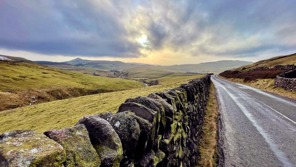
Go for a walk in the snow without getting cold in 37 photos from a white-over Eaves Knoll, giving 360-views of our frozen Peak District hills.
Cheshire East
Cycle routes and blog posts about cycling, walking and exploring Cheshire East.
Cycle Routes in and around Cheshire East
Blog posts featuring Cheshire East
National Trust property Lyme has just announced that the planning application it made nearly a year ago to relocate and massively expand its car parking will be withdrawn.
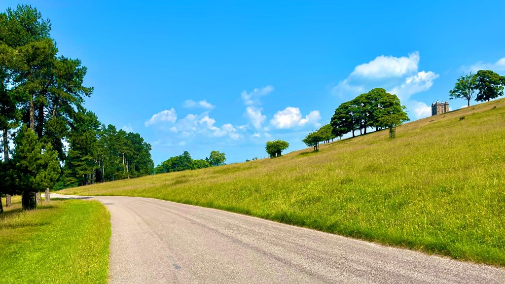
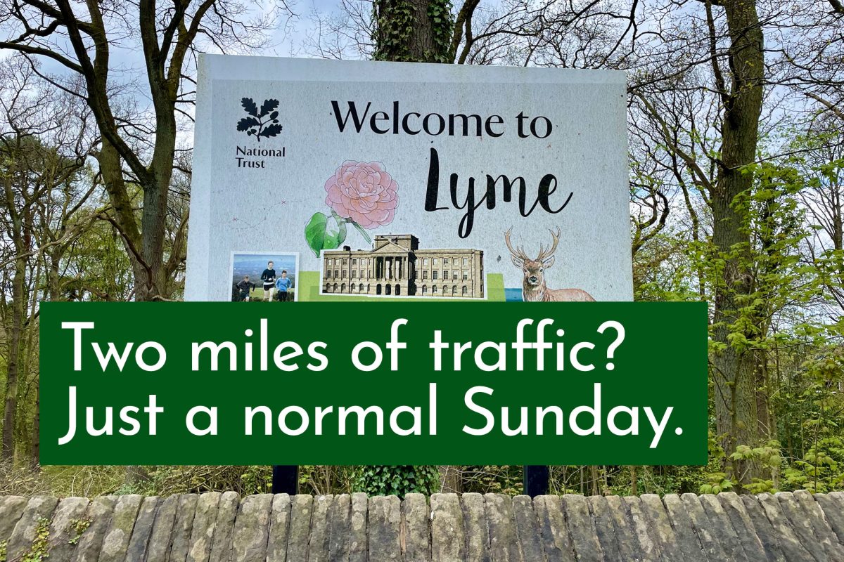
The National Trust’s Lyme Park, on the Cheshire edge of the Peak District, caused over 2 miles of queuing traffic on the A6 this Sunday morning — not for the first time.
You may be aware there is currently a bit of a thing ongoing with Lyme Park, a disaster which many hope can be averted. In the meantime, here’s two positive new moves from the National Trust property.
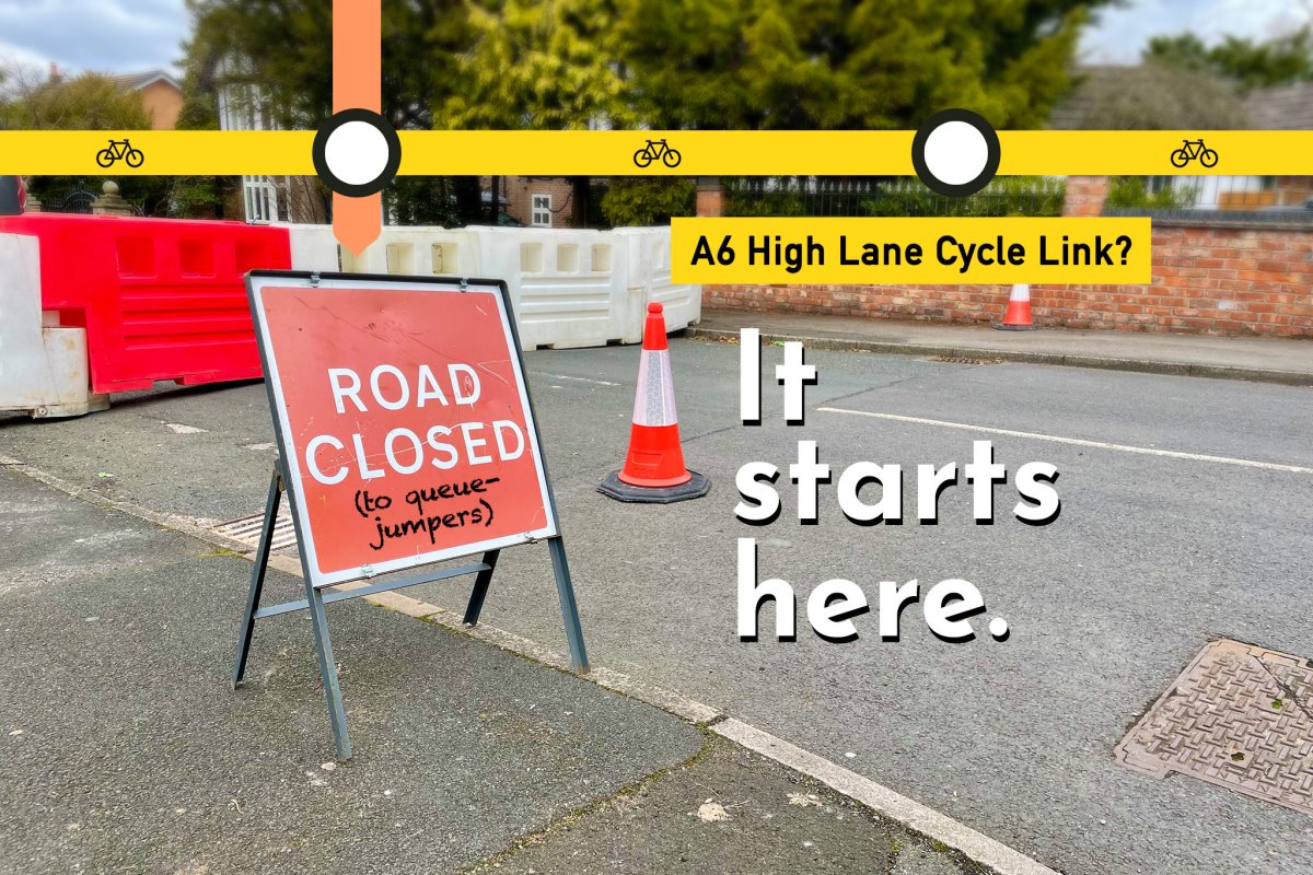
Stockport Council has trialled a single closure point to stop queue-jumping on a residential road off the A6 at the High Lane — a move which, if made permanent, could also provide up to half the length of a safe cycling route along this busy travel corridor.
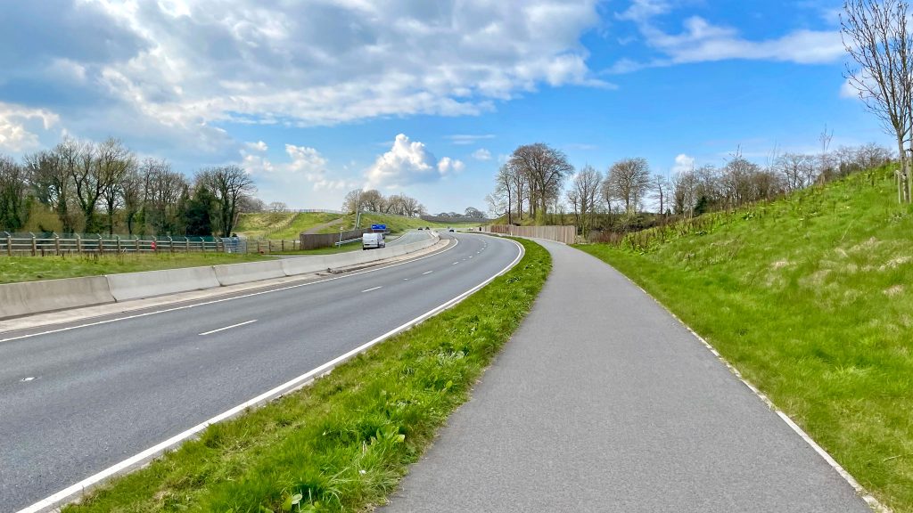
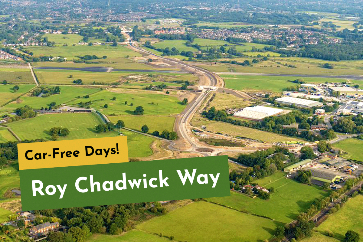
Cheshire East’s new £53m Poynton Relief Road will open exclusively for walking, cycling and wheeling for one weekend only, before opening to general motor traffic from Monday, 6th March.
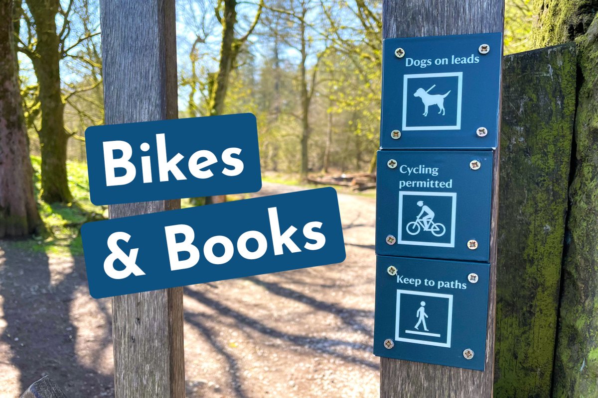
Lyme Park’s ranger team are informally allowing cycling on two extra routes again until the end of summer, as per the terms of a “trial” initiated before the pandemic.
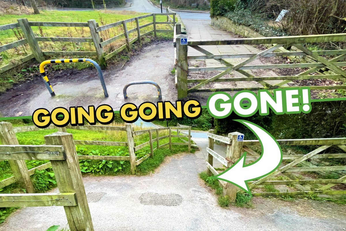
Cheshire East has listened to calls for a rethink of its outdated Middlewood Way access points in Bollington and Macclesfield, taking action to remove discriminatory barriers.
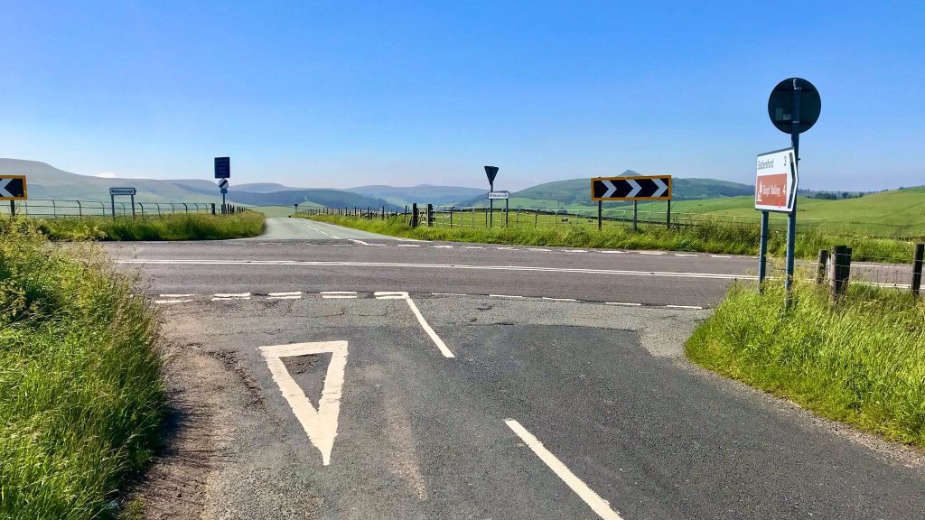
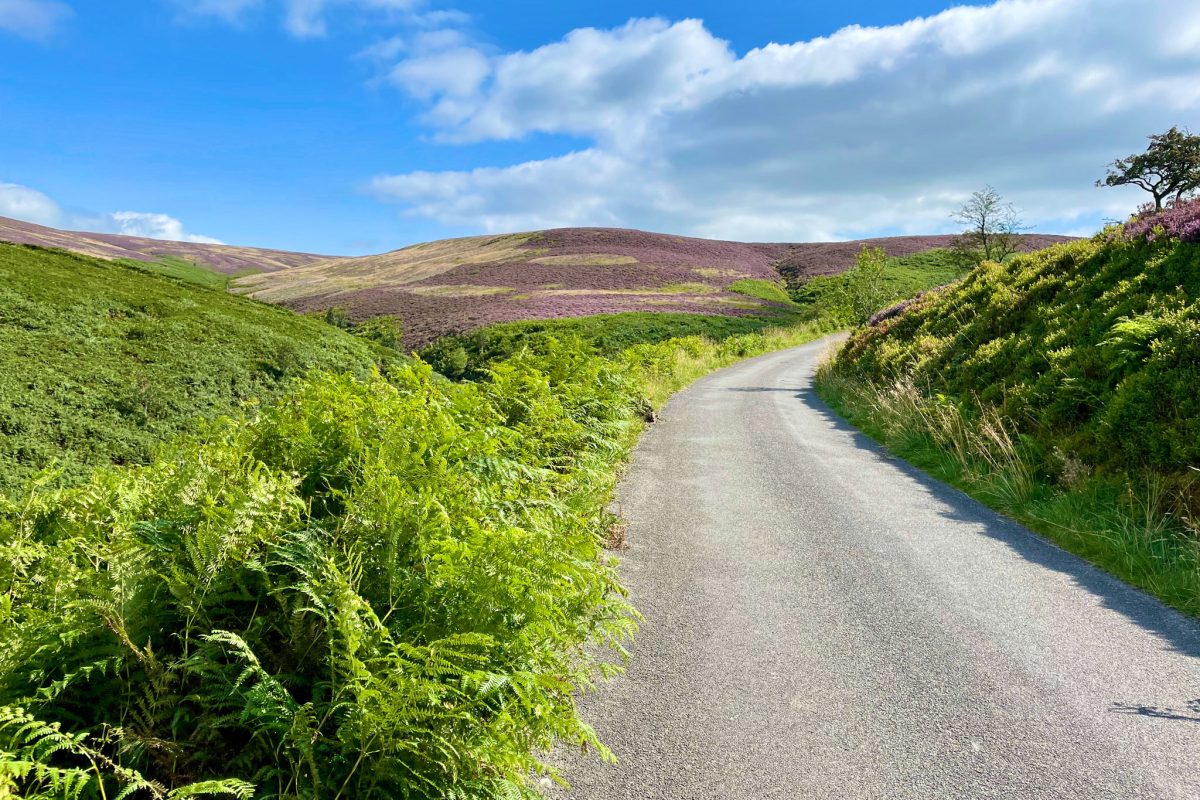
A new road closure order covering “all users” has just appeared for the one-way road between Errwood Reservoir and Derbyshire Bridge in the Peak District’s Upper Goyt Valley near Buxton.
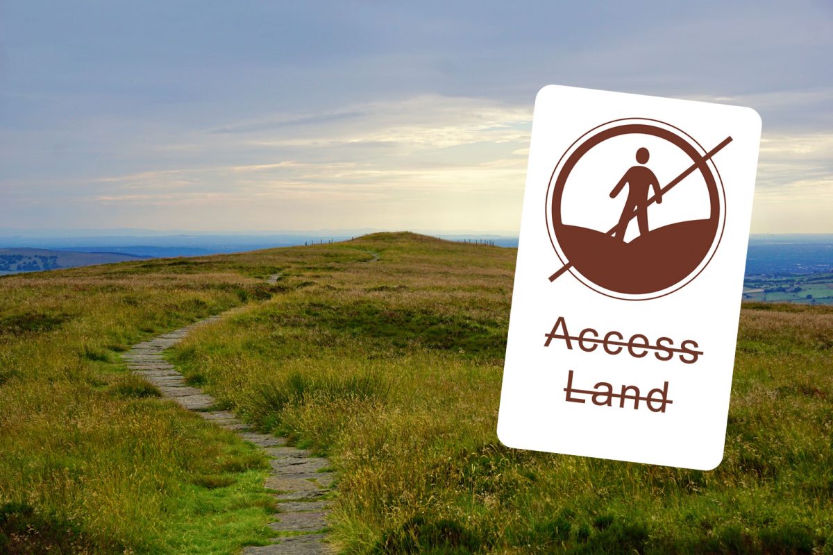
Due to the “Extreme” red heat warning and risk of moorland fires now being at a “critical” level, the Peak District National Park has this morning suspended all public access to Access Land.


