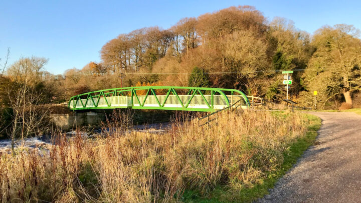
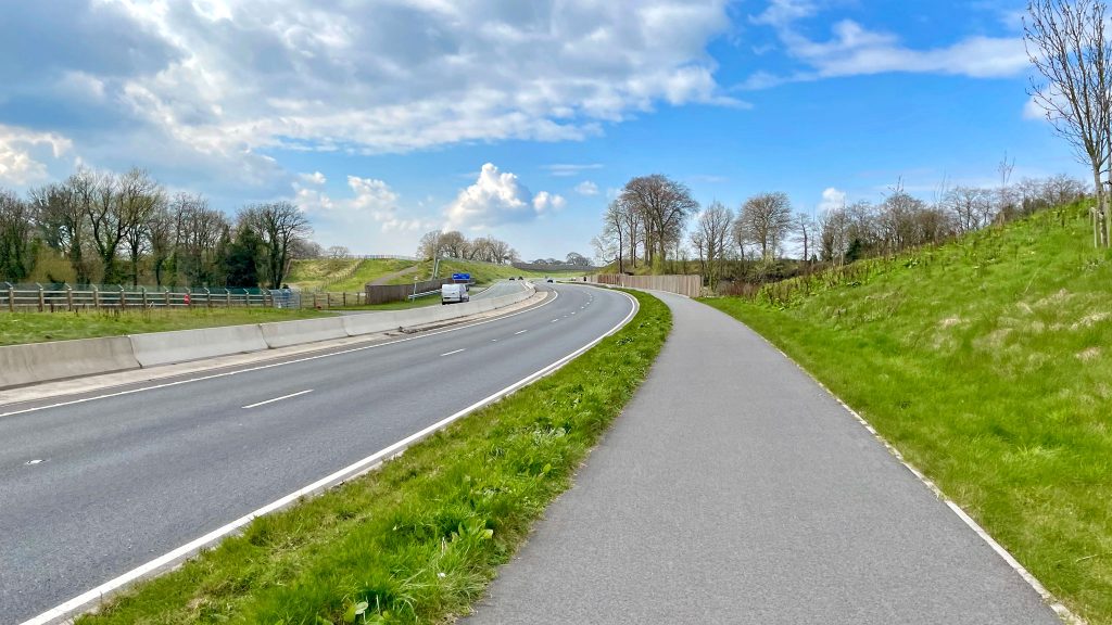
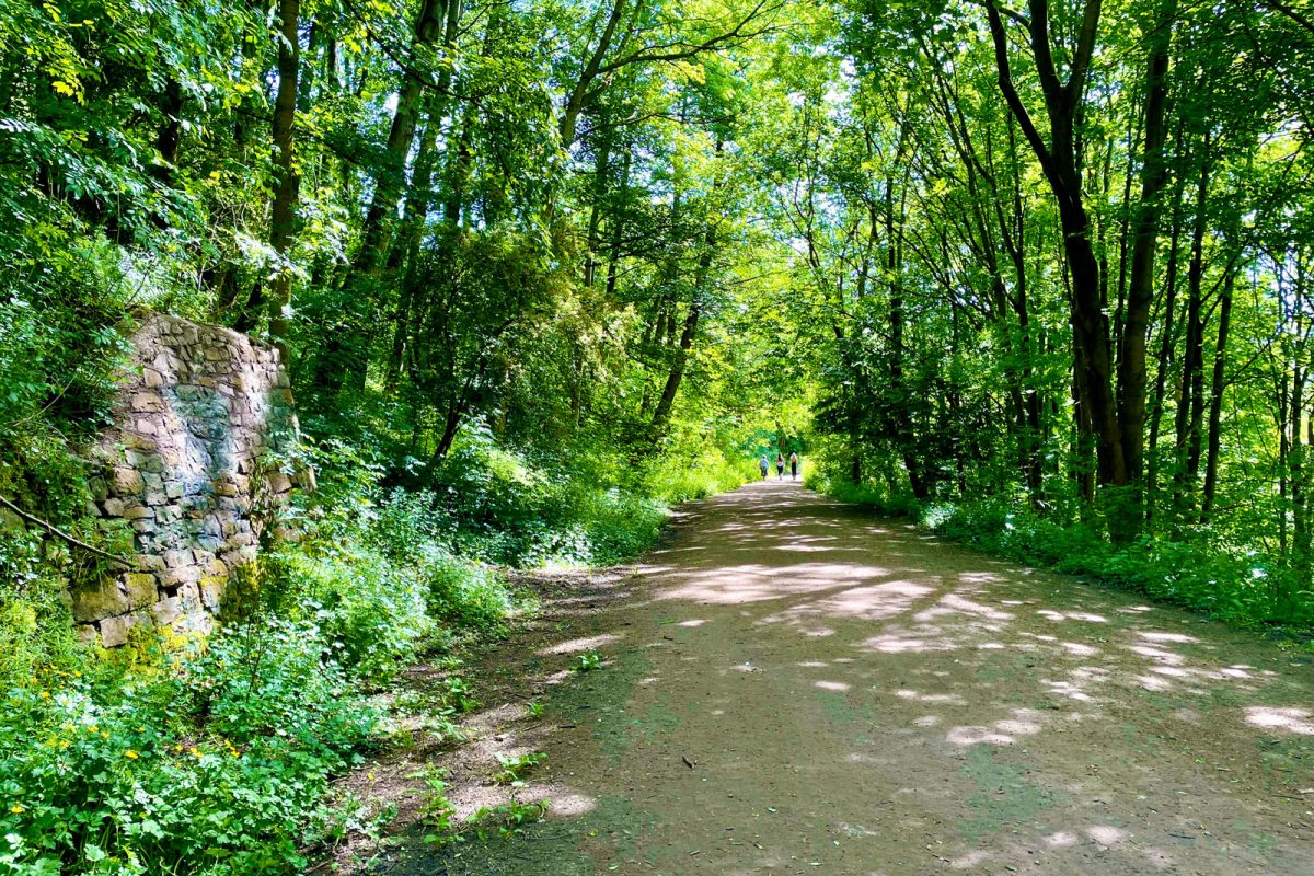
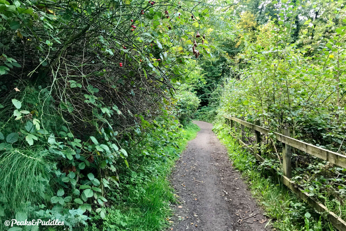
A whole range of proposals forming a new Bee Network active travel route between Romiley and Stockport are included in a consultation that ends in just a few days, potentially benefitting a big area of south east Greater Manchester around the River Goyt.
Stockport Metropolitan Borough Council
Cycle routes and blog posts about cycling, walking and exploring tagged with Stockport Metropolitan Borough Council.
Cycle Routes featuring Stockport Metropolitan Borough Council
Blog posts featuring Stockport Metropolitan Borough Council
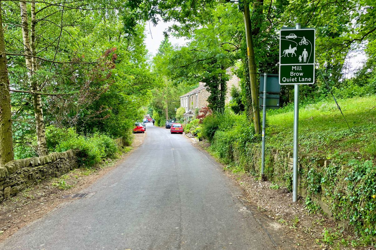
A series of lanes on the rural fringes of Stockport have recently (and very quietly) received new “Quiet Lane” signage, but is a sign enough to make a quiet lane?
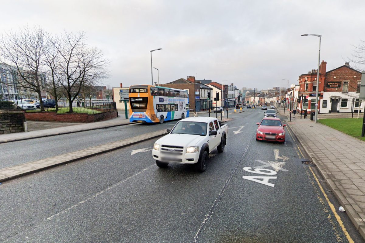
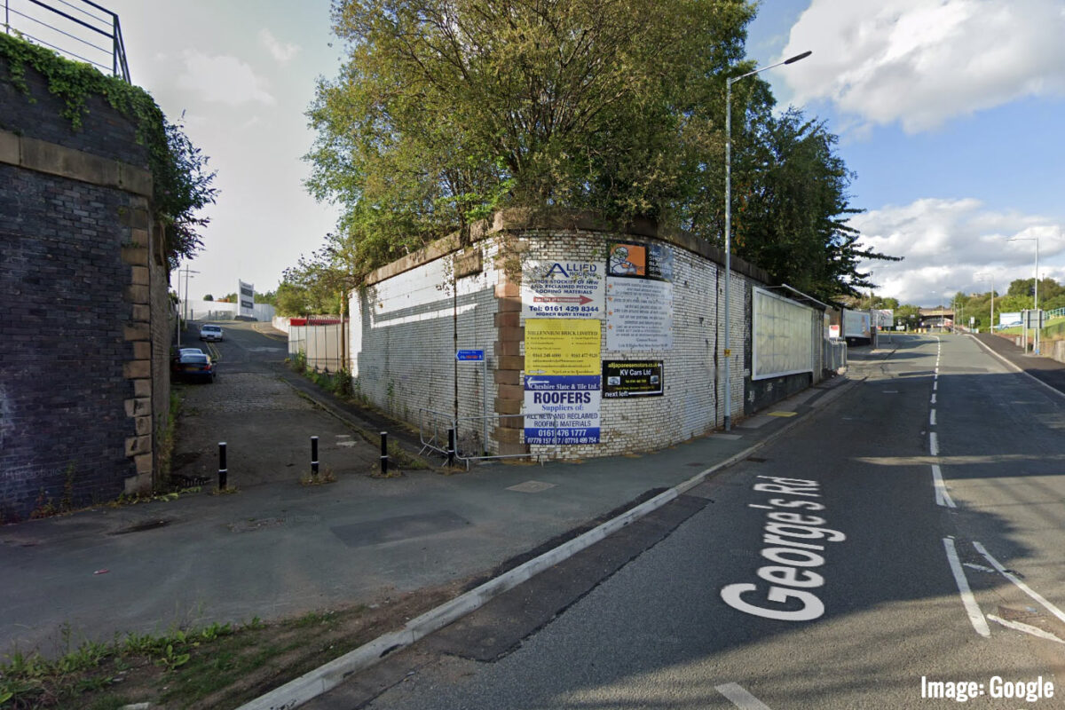
Stockport Council have just opened a new Bee Network walking and cycling consultation, for a route from Edgeley, bridging the mainline railway junction and the A6, into the town centre and marketplace.
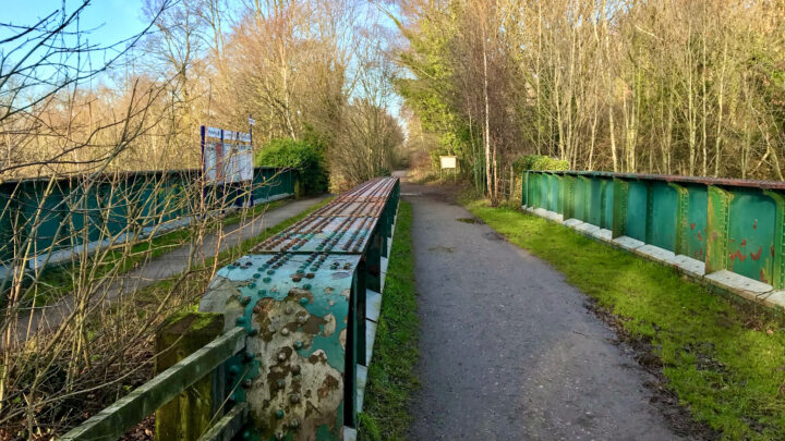
Part of the Trans Pennine Trail in Stockport will be closed for approximately five weeks from Monday, 28th June 2021 for resurfacing works to take place. Update (21/10/21): This closure has now been postponed to mid-September 2021. Update (21/10/21): The closure has now begun and is expected to last for 5 weeks. There’s currently nothing noted anywhere on the council website or social media, nor any diversion signage in place (the diversion notice below is the one to follow). Why are closures of important cycle links never treated with the same importance as roads? Even if it’s for welcome improvements,Read More
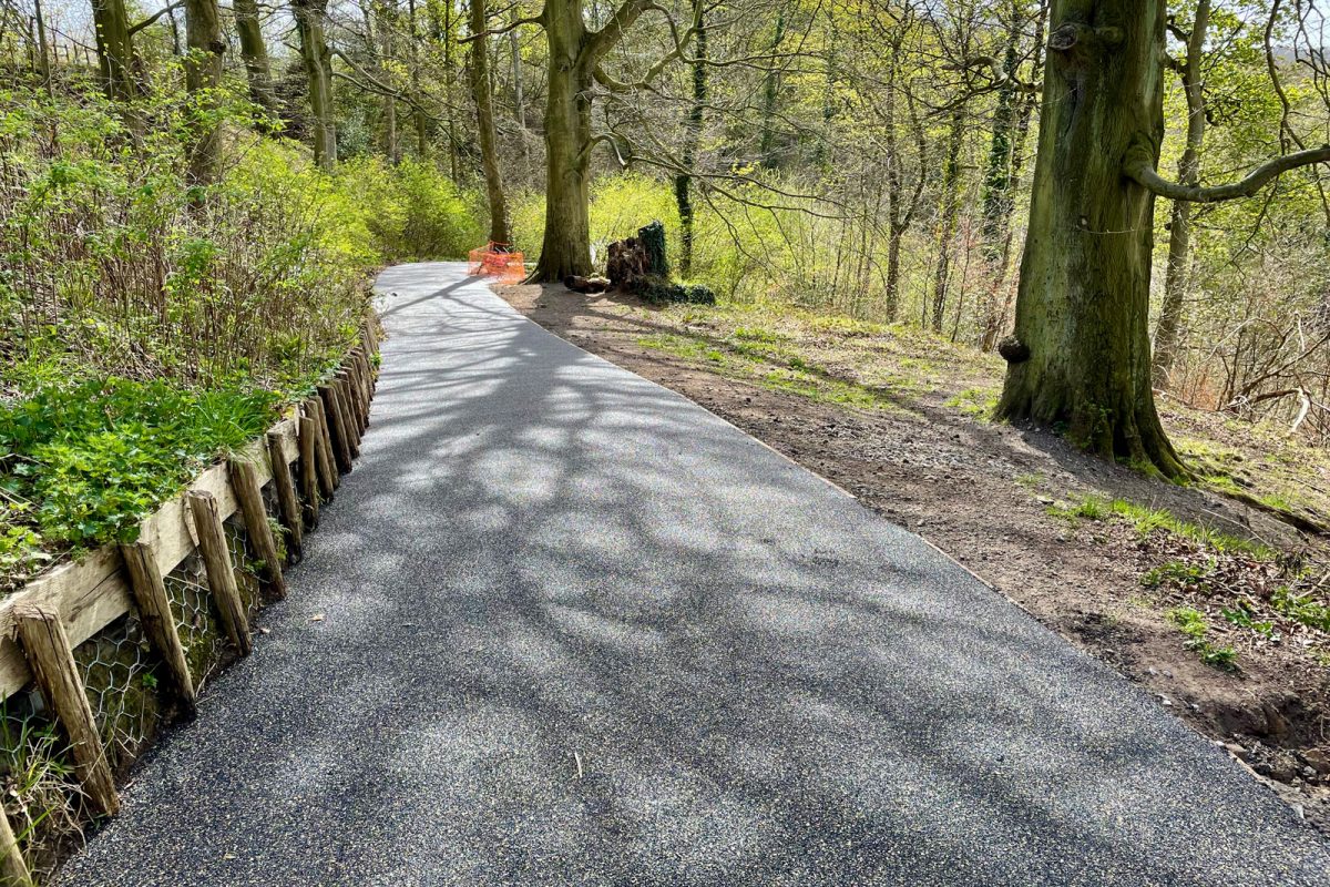
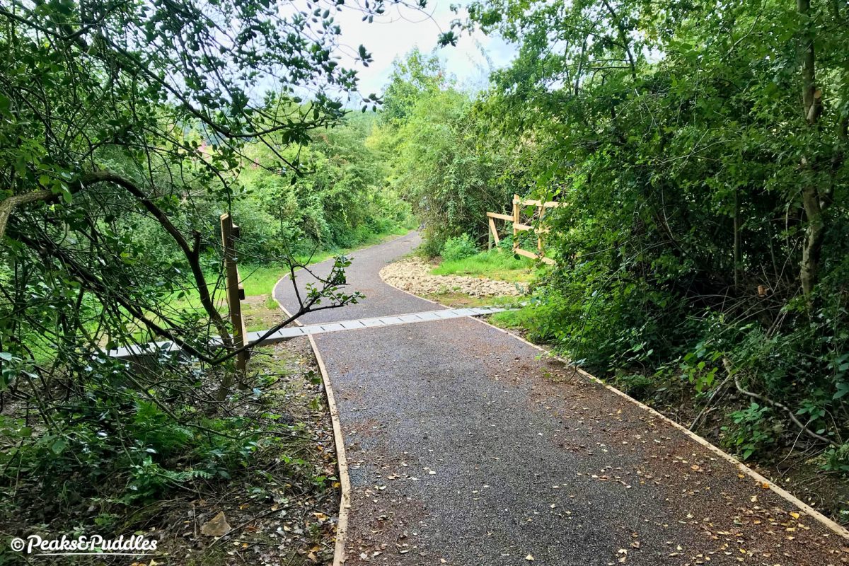
It’s still very steep, but oh it’s so much better. The nearly ten-year-old path on the Alan Newton Way which climbs sharply from the River Goyt up to Marple Hall has now been massively improved with cleared vegetation and a new sealed surface.
Marple’s only off-road cycle route into the borough centre of Stockport will be closed from late March 2021 for much-needed maintenance work on the steep descent below Marple Hall High School to Chadkirk Bridge.
Two more nearby Bee Network schemes are taking a slow step forward as Stockport launches an interactive comments map for their Heatons and Romiley active neighbourhood schemes, aimed at reducing car dominance to improve walking and cycling.
This flood-prone rural bridleway on the very edge of Greater Manchester has just had a second round of major improvement works, extending the Flexipave surface begun in 2018 and fixing the drainage problem at the heart of its woes.
Stockport Council has finally shared plans for the borough’s first Emergency Active Travel Fund pop-up cycle route, designed to provide a safe route parallel to the A6, just a few days before works are due to begin on the ground.

